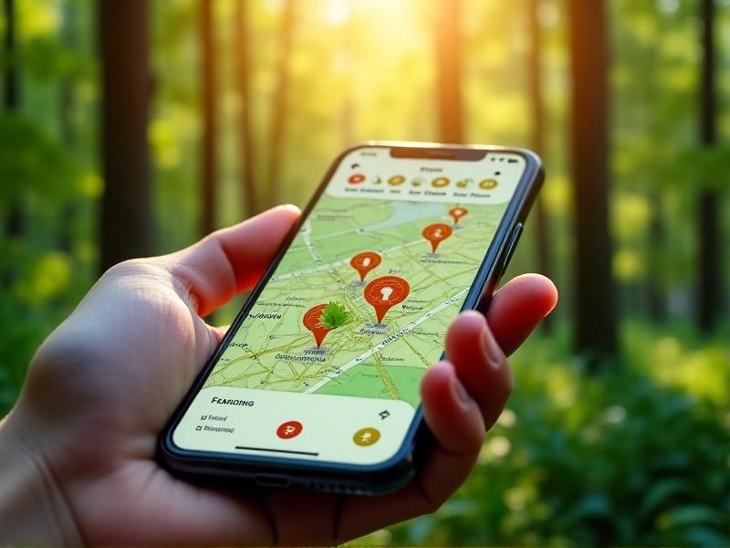
Collaborative Mapping Initiatives for Urban Biodiversity Conservation
The Importance of Urban Biodiversity Conservation
Urban biodiversity conservation is a critical aspect of sustainable city planning. As cities expand, natural habitats are often destroyed or fragmented, leading to a loss of biodiversity. This not only affects the flora and fauna but also impacts human well-being. Biodiversity in urban areas contributes to ecosystem services such as air purification, temperature regulation, and mental health benefits. Collaborative mapping initiatives have emerged as a powerful tool to address these challenges. By involving communities, scientists, and policymakers, these projects aim to document and preserve urban biodiversity, ensuring that cities remain livable for both humans and wildlife.

What Are Collaborative Mapping Initiatives?
Collaborative mapping initiatives are community-driven projects that use geographic information systems (GIS) and other technologies to map urban biodiversity. These initiatives often involve citizen scientists who collect data on plant and animal species in their neighborhoods. The data is then compiled into interactive maps that can be used by researchers, urban planners, and policymakers. These maps provide valuable insights into the distribution of species, the health of ecosystems, and the impact of urban development. By engaging the public, collaborative mapping initiatives foster a sense of ownership and responsibility towards local biodiversity, encouraging more sustainable urban practices.

Technologies Driving Collaborative Mapping
Several technologies are driving the success of collaborative mapping initiatives. Geographic Information Systems (GIS) are at the core, allowing for the precise mapping of biodiversity data. Mobile apps have made it easier for citizen scientists to record observations in real-time, while cloud computing enables the storage and analysis of large datasets. Drones and satellite imagery provide high-resolution data on land use and vegetation cover. Artificial intelligence and machine learning are increasingly being used to analyze complex datasets, identifying patterns and predicting trends. These technologies not only enhance the accuracy and efficiency of mapping projects but also make them accessible to a broader audience.

Case Studies of Successful Collaborative Mapping Projects
Several collaborative mapping projects have successfully contributed to urban biodiversity conservation. The iNaturalist platform, for example, allows users to upload photos of plants and animals, which are then identified by the community and mapped. The City Nature Challenge is an annual event where cities compete to document the most biodiversity, raising awareness and generating valuable data. In Singapore, the Biodiversity Beach Patrol involves volunteers in monitoring coastal biodiversity, providing data that informs conservation strategies. These case studies demonstrate the potential of collaborative mapping to engage communities, generate data, and drive conservation efforts.
Challenges and Limitations of Collaborative Mapping
Despite their potential, collaborative mapping initiatives face several challenges. Data accuracy can be an issue, as citizen scientists may lack the expertise to identify species correctly. There is also the risk of data overload, with large volumes of information requiring significant resources to analyze. Privacy concerns can arise when mapping activities involve private properties or sensitive locations. Additionally, ensuring sustained community engagement can be difficult, as interest may wane over time. Addressing these challenges requires careful planning, training, and the development of robust data validation processes. Collaborative mapping initiatives must also be inclusive, ensuring that diverse communities are represented and involved.
The Role of Policy in Supporting Collaborative Mapping
Policy plays a crucial role in supporting collaborative mapping initiatives. Governments can provide funding, resources, and technical support to ensure the success of these projects. Policies that promote open data and data sharing can enhance the impact of mapping initiatives, making the data accessible to a wider audience. Urban planning policies can incorporate biodiversity data into decision-making processes, ensuring that development projects consider the impact on local ecosystems. Legal frameworks can also protect the rights of citizen scientists and ensure that data is used ethically. By integrating collaborative mapping into policy, governments can foster a more sustainable and biodiverse urban environment.
Future Directions for Collaborative Mapping in Urban Biodiversity
The future of collaborative mapping in urban biodiversity conservation looks promising. Advances in technology will continue to enhance the accuracy and efficiency of mapping projects. Increased public awareness and education will likely lead to greater community involvement. Integration with other urban planning tools will ensure that biodiversity data is considered in all aspects of city development. International collaboration can also play a role, with cities sharing data and best practices to address global biodiversity challenges. As collaborative mapping initiatives evolve, they will become an increasingly important tool in the effort to create sustainable, biodiverse urban environments.


